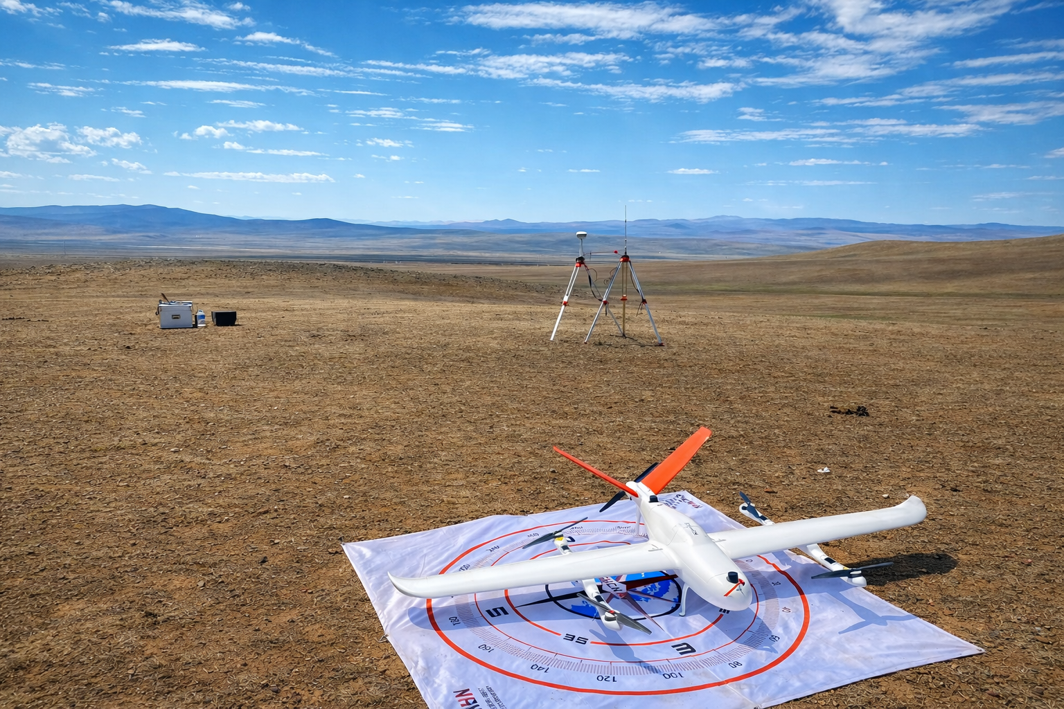
Equipped with UAVs capable of 150-minute flight endurance, we rapidly conduct aerial surveys to generate large-scale topographic maps, digital elevation models (DEMs), and orthophotos, delivering high-quality geospatial products to our clients promptly
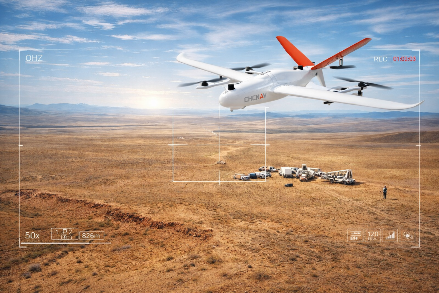
Equipped with the latest advanced technology, our UAVs can capture linear infrastructure up to 20–30 km or areas of 1,000–1,500 hectares in a single flight at 1:500 scale with 2 cm accuracy. In favorable weather, 3–4 flights can be completed per day, ensuring fast, reliable, and high-precision survey results